


New coastal flood system funded by FP7
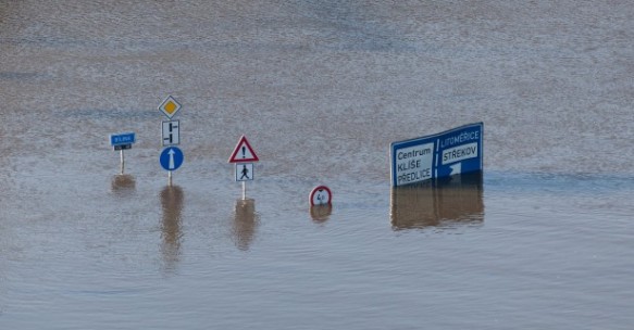
An EU-funded project is helping keep people and their homes safe with the creation of an early warning system for coastal storms.
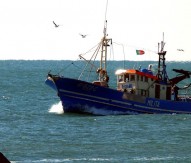
The Morphological Impacts and Coastal Risks Induced by Extreme Storm Events (MICORE) project received funding under the Seventh Framework Programme (FP7) and has created an early warning system by simulating hazards caused by storm waves eroding coastlines. The software aims to help improve disaster forecasting and response methods, in turn increasing public safety.
The system was based on open-source code and provides information on wave and tide conditions and more detailed morphological information for specific sites. The areas covered range from Ravenna in the Mediterranean Sea to Varna in the Black Sea, and from Poland’s Baltic coast to Belgium’s North Sea. Atlantic coastlines along southern Spain (Cádiz) and Portugal (Algarve) are also included, as well as Irish Sea coastlines. During the project, which ended in September 2011, prototypes were made available free of charge online, providing real-time information.
Project co-ordinator Paolo Ciavola, of Italy’s University of Ferrara, explained that the early warning system is flexible enough to be used for a variety of coastal areas: “We believe the approach we have developed is exportable. For example, in Italy we initially tested it on one beach, but we are now applying it to 130km of the Emilia-Romagna region, where local authorities supported us in maintaining it, making it one of the most successful stories of knowledge transfer from scientists to end users. We have been co-operating with the United States Geological Survey, and they are applying a similar approach in California. So the format is widely applicable.”
Some of the former project partners are now working together in the EU-funded project RISC-KIT to improve the software.